TRANSPORTATION PLANS
As changes occur in the Fort Wayne-New Haven-Allen County Metropolitan Planning Area, the transportation system must be modified to respond to new and increasing travel demands. The Transportation Plan, often referred to as a Metropolitan Transportation Plan, is the culmination of a planning process that effectively responds to these changing needs. (More Description)
BIG DATA ANALYTICS FOR THE NORTHEAST INDIANA REGION
Scroll down for more...
Listed on this page: 2045, and 2040 (see below)

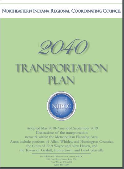
2040 Transportation Plan
MORE DESCRIPTION
The Plan links the regional vision of how it wants to grow with financially realistic plans for a multi-modal transportation system, provides strategic direction for investment decisions that transition into the Transportation Improvement Program (TIP). The Plan establishes short- and long-term transportation investment and policy agenda for the region. The process for developing the Transportation Plan provides an important opportunity to communicate the priorities, critical choices, and general directions for the region to a broad audience, including planning partners, other stakeholders, elected officials, and the public.
The 2040 Transportation Plan is a 22-year, comprehensive multi-modal transportation plan that addresses existing and future needs of the transportation system. The needs of the transportation system are driven by the comprehensive plans of the counties and communities within the region. The comprehensive plans set the vision for how the community will grow by establishing policies for land-use; economic development; cultural and environmental preservation; parks and recreation; and transportation. The primary objective of the Transportation Plan is to support the vision of the comprehensive plans through programs and projects that improve the transportation system.
The 2040 Transportation Plan includes highway, transit, bicycle, and pedestrian improvement projects, programs and policies. The projects, programs and policies will help the Northeastern Indiana Regional Coordinating Council (NIRCC), the Urban Transportation Advisory Board (UTAB) and all the various jurisdictions address the existing and future needs of the transportation system. NIRCC updates and adopts a new transportation plan every four to five years to ensure relevant and current planning assumptions guide the planning process.
For a project to be included in the 2040 Transportation plan NIRCC first identifies needs of current and future travel demands that cannot be met by the existing transportation system. This is accomplished by evaluating existing traffic data and forecasting future traffic based on regional growth consistent with local Comprehensive Plans. Participation meetings are conducted to gain community input and ideas. Alternatives are proposed and then tested to determine their effectiveness and potential adverse effects. Alternative solutions that help meet travel demands, enhance regional accessibility and mobility, and minimize environmental impacts are identified for consideration. The solutions are presented to UTAB, and approved programs and projects are adopted into the Transportation Plan. The selected programs and projects must be economically feasible. The goal of the Transportation Plan is to achieve an efficient and safe transportation system for the movement of the people and goods while simultaneously improving the economic and environmental conditions of the community.
After a project is included in a Transportation Plan, the next step toward completion is inclusion in the Transportation Improvement Program (TIP). The TIP is a multi-year program for implementing transportation projects. Due to the limited amount of local, state and federal funding available each year for transportation improvements, it is important to prioritize the projects and in some cases phase the implementation or construction of the projects. Project development generally includes three activities including preliminary engineering, right-of-way engineering and acquisition, and construction. The time frame for project development is determined on project complexity, project cost, and available funding. The TIP is updated every two years and is initiated by a call for local projects. Projects are evaluated and UTAB selects projects for inclusion in the TIP.