PLANNING
The Northeastern Indiana Regional Coordinating Council provides expertise in two primary planning areas, transportation and community development. The transportation planning activities focus on highways; bicycle and pedestrian; and public oriented transit services. Community development strives to empower our region with sustainable infrastructure and amenities that promote economic development and livable communities.
|
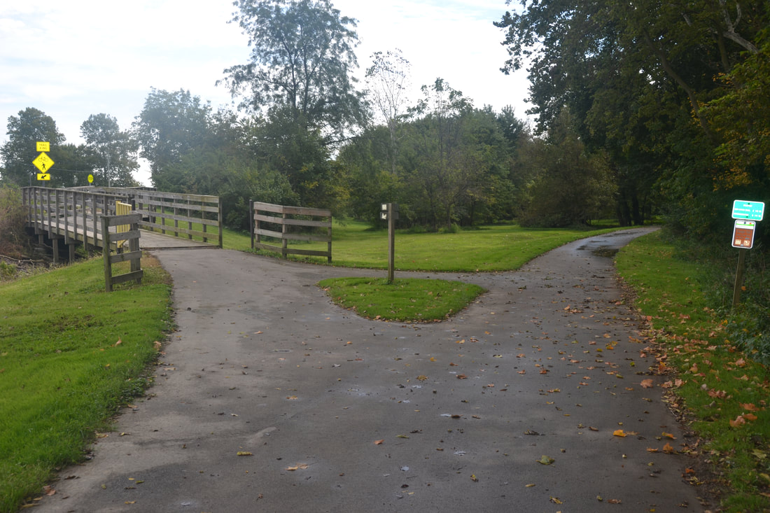
Bicycle & PedestrianNIRCC conducts bicycle and pedestrian planning activities in Allen County and throughout Northeast Indiana. NIRCC produced the Northeast Indiana United Trails Plan, which identifies trail plans throughout Northeast Indiana (includes 12 Counties), and the Bicycle-Pedestrian Transportation Plan, which includes bicycle and pedestrian infrastructure plans for Allen County and the Northeast Indiana Region (i.e. on-street bike facilities, trails, and sidewalks).
|

|
Community DevelopmentDescription to come...
|
|
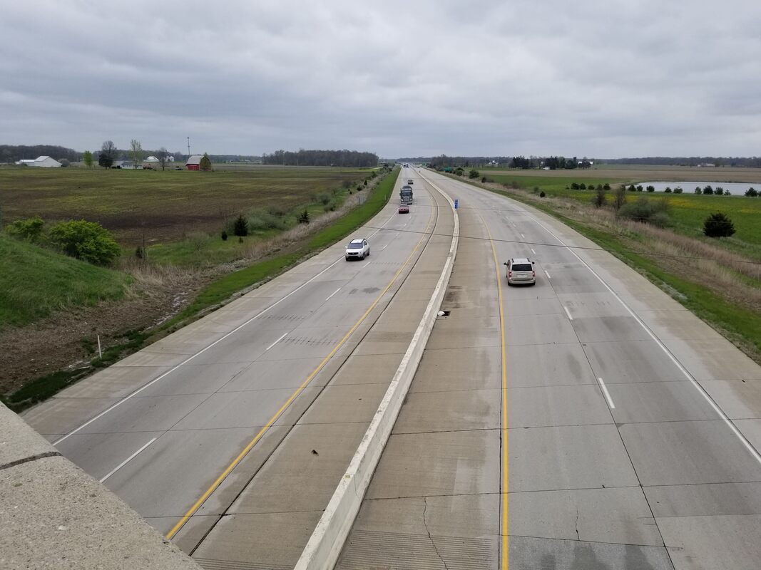
HighwayHighway planning encompasses our entire transportation network and demonstrates how all the separate parts of that network work together to form our transportation system. The goal of highway planning is to ensure an efficient and safe transportation system for the movement of people and goods while simultaneously improving the economic and environmental conditions of the community and our transportation system.
|
|
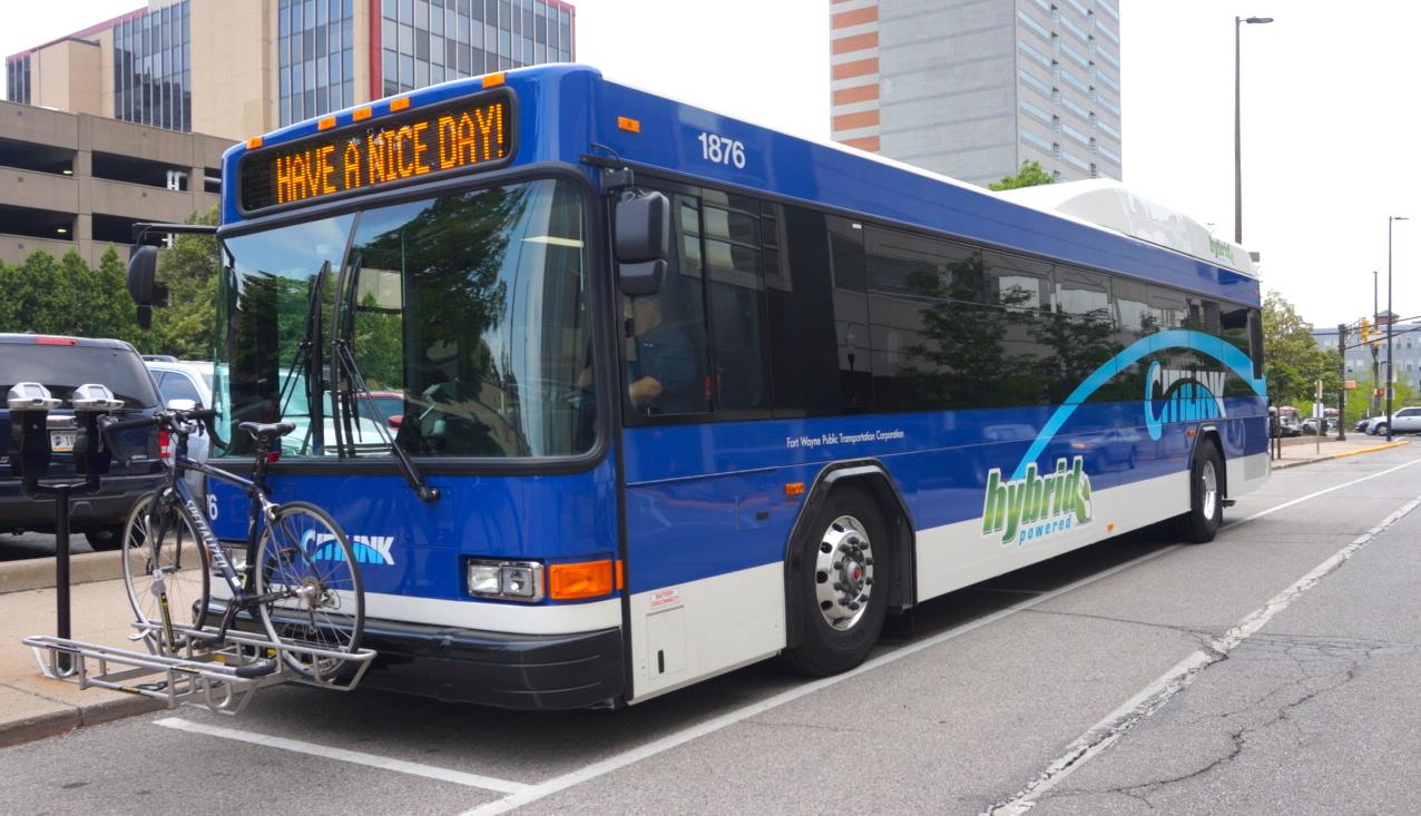
TransitNIRCC has an integral role in the transit planning activities that occur within Allen County.
Follow this link to learn more about the transit planning activities conducted and the transit related documents produced by NIRCC. |