Highway
Highway planning encompasses our entire transportation network and demonstrates how all the separate parts of that network work together to form our transportation system. The goal of highway planning is to ensure an efficient and safe transportation system for the movement of people and goods while simultaneously improving the economic and environmental conditions of the community and our transportation system. There are many items that make up our transportation planning process to do this. Listed below are a number of items that help achieve this goal.

|
ADAThe Americans with Disabilities Act (ADA) prohibits discrimination against people with disabilities in several areas, including transportation, public accommodations, communications and access to state and local government’ programs and services. Information is provided on the ADA and how to develop a Transition Plan.
|

|
Air QualityTransportation conformity was established for the Metropolitan Transportation Plan (MTP) 2040 and the FY 2020-2024 Transportation Improvement Program (TIP) adopted by NIRCC’s Urban Transportation Advisory Board, the MPO policy board for the Fort Wayne Urbanized area.
|

|
Congestion Management ProgramCongestion Management Process is accomplished by evaluating vehicle capacity ratios and the potential for future congestion, as well as updates to traffic volumes, intersection studies, corridor studies, and travel time and delay studies.
|

|
Corridor AnalysesThe main purpose of a corridor and impact analysis is to evaluate traffic impacts of future developments on an existing corridor. The corridor analysis estimates the number of new trips from anticipated developments that will be added to an existing facility to examine the changes in level of service (LOS).
|
|
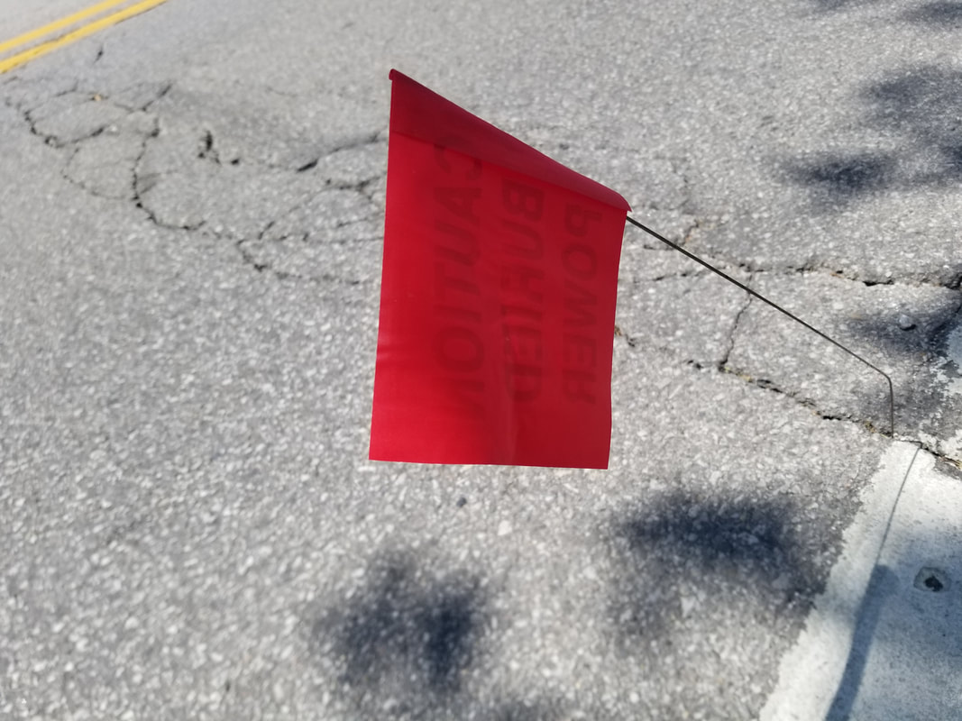
Red FlagRed Flag Investigations (RFIs) occur during or before the project development phase to see what kinds of environmental effects may be caused as a result. In order to identify locations and issues of concern, or “red flags”, an initial report is completed and referred to as a Red Flag Investigation. The report identifies these red flags that may require additional study coordination in future steps of the project development process and also identifies any “fatal flaws” in the study area which are locations that must be avoided all together.
|
|
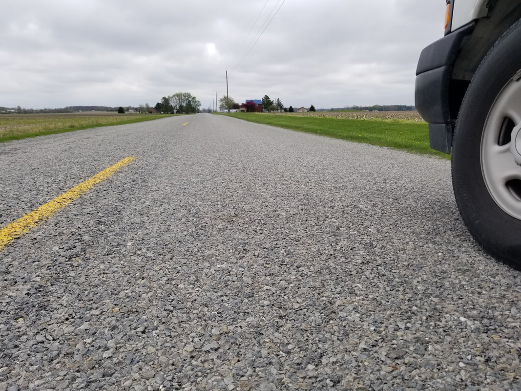
Rural PlansNIRCC serves as the Regional Planning Organization (RPO) for the four-county region and performs the Small Urban and Rural Planning (SURP) activities. This program includes activities such as the collection and evaluation of traffic data, roadway network evaluations, arterial analyses, crash data, red flag environmental investigations, bicycle / pedestrian planning, and geographic information system (GIS) data.
|

|
SafetySafety Management System for Allen Adams, DeKalb, and Wells Counties
|

|
Title VITitle VI of the Civil Rights Act of 1964 protects people from discrimination in programs and activities receiving federal financial assistance. A federal-aid recipient must have an Implementation Plan to prevent discrimination in all of its programs and activities. Information is provided on Title VI and how to develop an Implementation Plan.
|

|
Traffic DataThe Northeastern Indiana Regional Coordinating Council as the Metropolitan Planning Organization and Regional Planning Organization collects a substantial amount of traffic data on the urban and rural roads in Northeast Indiana. Traffic volumes, vehicle classification, travel speeds, crash locations and other road related information is collected and managed by the transportation planning team. (Traffic Counts, Intersection/Arterial Data, Travel Time Studies)
|

|
Traffic Incident ManagementNortheast Indiana Traffic Incident Management Committee
|

|
Transportation Improvement Program (TIP)The TIP is a five-year capital improvement document that provides information on highway, transit, bicycle and pedestrian programs and projects in Allen County. Projects are sponsored by local public agencies, Citilink and the Indiana Department of Transportation.
|

|
Transportation PlansAs changes occur in the Fort Wayne-New Haven-Allen County Metropolitan Planning Area, the transportation system must be improved to respond to new and increasing travel demands. The Transportation Plan is a culmination of a process that effectively responds to these changing needs.
|